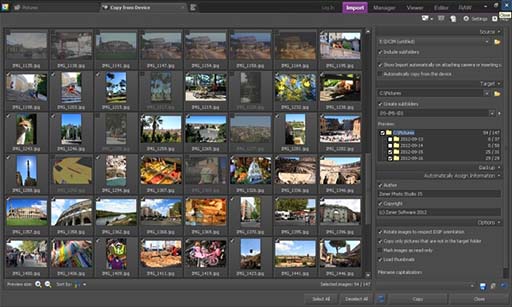
HoudahGeo 6.4.3

... geotags to JPEG and RAW image files. This creates a permanent record of where a photo was taken. Just like a GPS-enabled camera. HoudahGeo supports many methods of geocoding: Use a GPX track log, reference photos taken with iPhone, or pick locations on the built-in map. ...

Author Houdah Software s.à r.l
License Demo
Price $39.00
Released 2023-12-17
Downloads 1616
Filesize 27.38 MB
Requirements Apple macOS 10.14 Mojave through 13 Ventura. Digital camera. GPS/GPX track logger optional.
Installation No Install Support
Keywords photo, geocode, geotag, apple, mac, osx, macos, photos, lightroom, gps, gpx, nmea, exif, xmp, iptc, jpeg, raw, map, coordinates, places, location, aperture
Users' rating
(44 rating)
HoudahGeoEditorsMac OS X,
HoudahGeo create maps - Download Notice

Using HoudahGeo Free Download crack, warez, password, serial numbers, torrent, keygen, registration codes, key generators is illegal and your business could subject you to lawsuits and leave your operating systems without patches. We do not host any torrent files or links of HoudahGeo on rapidshare.com, depositfiles.com, megaupload.com etc. All HoudahGeo download links are direct HoudahGeo full download from publisher site or their selected mirrors.
Avoid: create maps oem software, old version, warez, serial, torrent, HoudahGeo keygen, crack.
Consider: HoudahGeo full version, create maps full download, premium download, licensed copy.

HoudahGeo create maps - The Latest User Reviews

Most popular Editors downloads

RePath Studio

0.4.6 download

... a wide array of scenarios, from simple grid-based maps to highly complex, dynamic environments. Users can simulate and analyze multiple pathfinding strategies, compare their efficiency, and make data-driven decisions to ...

Filter Forge

12.007 download

... Forge Basic is a software tool which was created in order to help individuals edit images, use many built-in filters and create your own. It can be used as a ... plugin, a pack of filters that generate textures, create visual effects, enhance photos, process images. However, there ...

3DFieldPro

4.6.7.0 download

... and versatile software designed for creating three-dimensional surface maps and contour plots from a variety of data ... data into visually compelling 3D surfaces and contour maps. The software supports a wide range of input ...

PhotoLine macOS

25.00 download

... can copy, add/remove folders, show image information, ... Create empty sheets of paper, place your images, text, ... printing. Save and read your PDF-files with PhotoLine. Create your vector graphics, add, remove, move vector points. ...

Vextractor x64

7.20 download

... Design software. You can also vectorize charts, drawings, maps and schemes for input to CAD or GIS ... Illustrator - AI, ILDA Image Data Transfer Format; Create centerlines and outlines; Recognize splines, ortholines, arcs and ...

Realtime Landscaping Plus 2013

8.14 download

... Realtime Landscaping Plus 2013 landscape design software to create realistic 3D and photo-based landscape designs. This award-winning software is perfect for homeowners wanting to create their ideal landscapes. Visualize your landscape and garden ...

Vextractor

7.20 download

... Design software. You can also vectorize charts, drawings, maps and schemes for input to CAD or GIS ... Illustrator - AI, ILDA Image Data Transfer Format; Create centerlines and outlines; Recognize splines, ortholines, arcs and ...

Image Constructor

2.5 download

Image Constructor helps you to create original illustrations, structural schemas and diagrams, simple geographical maps and location plants in form of texts and ... GIF, ICO, PCX, PSD and Windows Metafiles; - creates background as color or gradient fill; - edits ...

easyHDR

3.14.1 download

... an image processing software that produces and tone maps High Dynamic Range images. You will get neat ... you'll also find batch processing very useful. Just create a task list, choose settings and wait for ...

HoudahGeo

6.4.3 download

... geotags to JPEG and RAW image files. This creates a permanent record of where a photo was ... project for viewing in Google Earth, Google My Maps, or FLickr. Feature highlights: * Write GPS data, ...